Capture. Create.Deliver.
Veesus provides the independent 3D spatial data ecosystem for turning the world around you into digital deliverables, on your terms — Total Spatial Freedom.
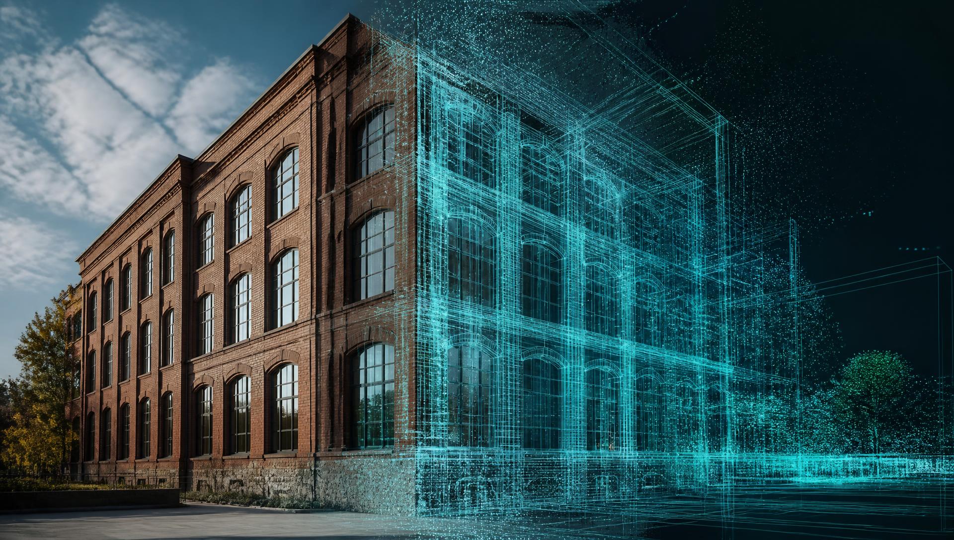
Capture.
Convert the world around you into a 3D digital model.
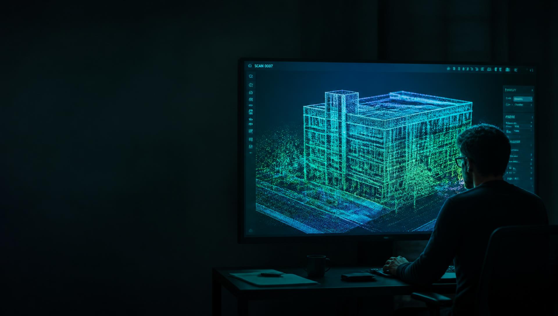
Create.
Explore and build from your capture data.

Deliver.
Videos, plans and interactive models.
You may not know you need this yet
Forget the jargon.
What is the problem?
Need to see a place you cannot get to? Prove what was there? Or show a client something remarkable? Veesus is here to help.




01 / 05
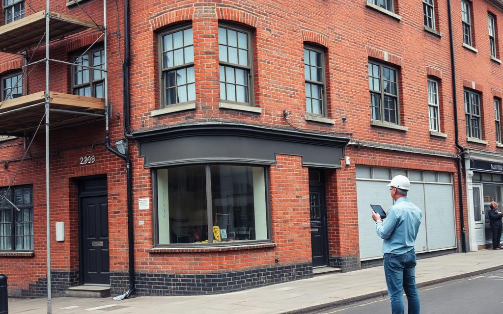
Remote site walk-throughs
Scan it once. Everyone walks the plant room from their desk, whenever they need to.
By Industry
Industries.
The same three steps — Capture, Create, Deliver — shaped around the way your sector actually works.
Creative Media
Cinematic fly-throughs, virtual sets and location records — made on your own hardware, or by Veesus Studio.
ExploreCritical Infrastructure
Measurable as-built records that beat drawings from 1974.
Explore
Public Safety
Reconstruct incidents fast. Evidence stays on your kit.
Explore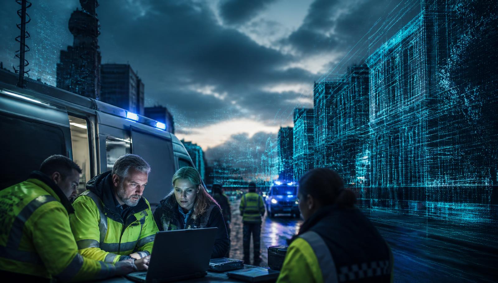
Emergency Services
Pre-incident planning, live incident command and disaster resilience — with Arena4U streaming complex 3D data over constrained links.
Explore
Who owns your data?
You do. Always.
Most 3D platforms want your work sitting on their computers, then charge you every month to reach it. We do the opposite. You choose where your data lives, who can open it and who owns it.
On-Premises server technology
Share huge 3D scenes across your whole team without a single file leaving your building.
Work offline
Your scans stay on your own hard drive. Open them, edit them and render them with no internet at all.
Process now, not later
Capture and build the scan out in the field. No uploads, no cloud queue, no waiting for someone else's server.
No cloud tax. No hostage data. Cancel tomorrow and every file is still yours.
Capture → Create → Deliver
One Partner.
Four Simple Steps.
Whatever created your spatial data, we help you make it useful. Capture it, work with it, share it — or hand the whole job to the people who wrote the software.
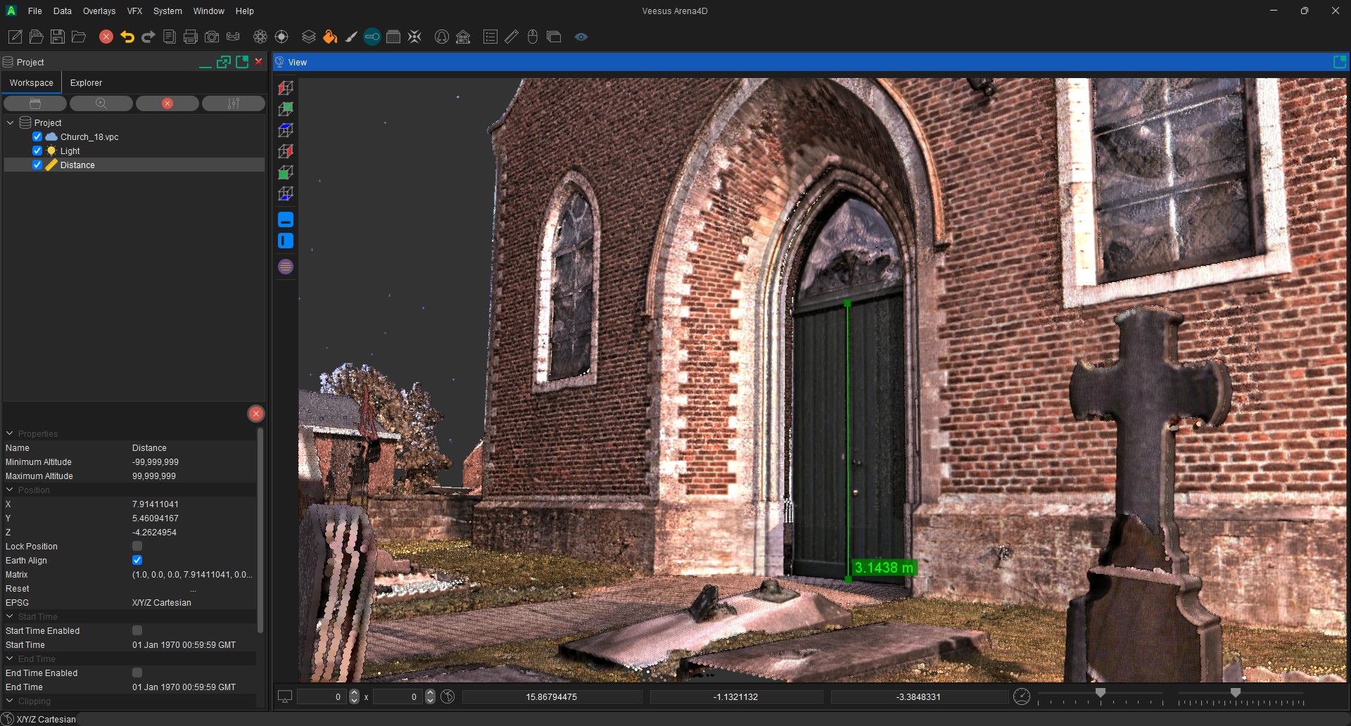
Create — Veesus Pro
Visualisation Software
Turn enormous Point Cloud and Gaussian Splat datasets into technical drawings or cinematic output. One simple licence, transparent pricing, works with your existing tools.
Explore Software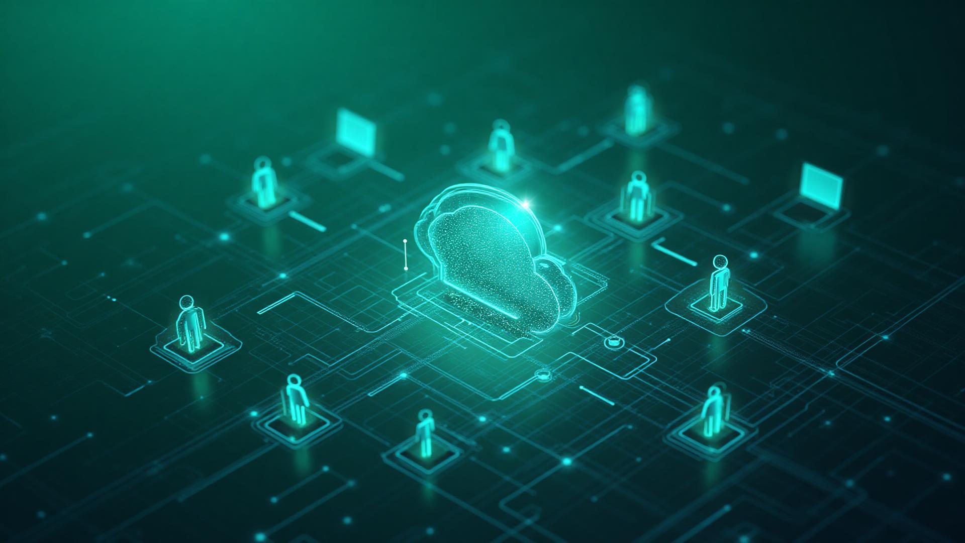
Share — Enterprise
Enterprise Platforms
Give your whole organisation one place for its spatial data — on your servers or your cloud. Predictable cost, no consumption billing. Your Data. Your Rules.
Explore Enterprise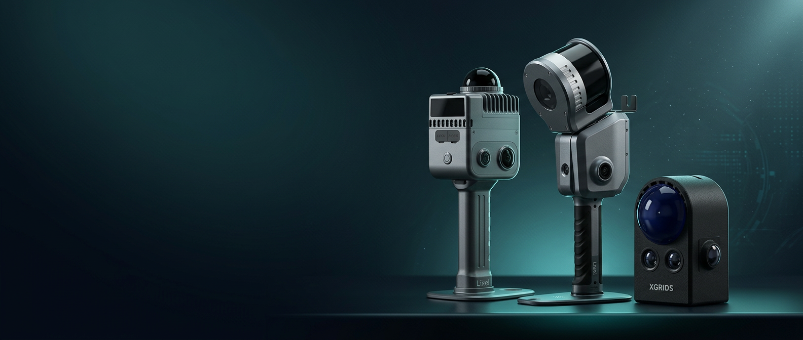
Capture — Hardware
Capture Hardware
Capture photorealistic measureable data and process it where you want, on your terms.
Do it for me — Studio
Veesus Studio
Got the data but not the time to learn specialist software? Our in-house team turns your Point Clouds and Gaussian Splats into cinematic films — concept to final 4K delivery.

Your Data. Your Rules.
Total Spatial Freedom.
It is a simple promise. Do what you want, how you want, where you want — with the spatial data you already own.
What you want
Point Clouds, Gaussian Splats, meshes, panoramas — any scanner, any source, any format. Nothing is locked away behind a converter you have to rent.
How you want
Do the work yourself with our software, or hand the whole job to Veesus Studio. Change your mind next month and nothing breaks.
Where you want
On your desktop, on your server, behind your firewall or in the cloud if it suits you. You choose the address your data lives at.
No handcuffs. No cloud tax. No compromises.
Beginner's Guide
New to 3D Scanning?
Not sure what Point Clouds, SLAM scanning or Gaussian Splats are? No problem. Our beginner-friendly guide explains everything you need to know about reality capture technology and how Veesus can help you get started.
Start LearningTrusted by Industry Leaders